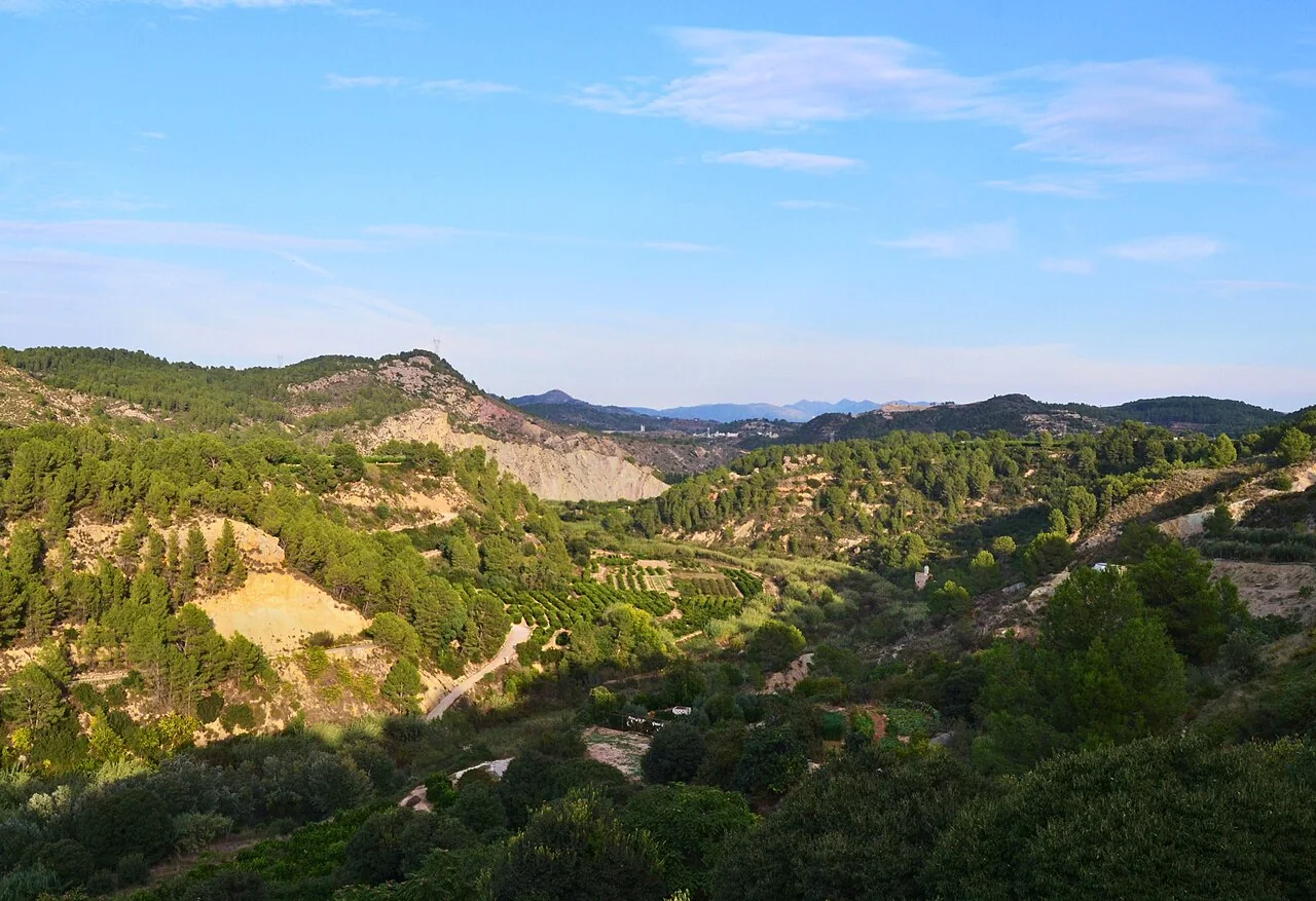
A visit with context
Sellent occupies a small valley between the river of the same name and the outer Caroig massif. Barranc de l’Horteta visually separates parts of the settlement and helps explain its shape. The council guide invites visitors to read old streets, footbridges and cultivated terraces as one landscape, rather than reducing the place to a generic river photograph taken from a neighbouring municipality.
Heritage and history
Puríssima church was established around 1535 on the former mosque site. Near the square are traces of the Muslim castle, important after the Christian conquest and ruined by the 1748 earthquake. The council is precise: only archaeological wall remains survive, absorbed into adjoining houses, while the arms courtyard approximately occupied today’s church square. A complete visitor-ready fortress must therefore not be promised.
Major, Raval and Molí streets retain the scale of the traditional centre. Public viewpoints reveal connections with the river, Montot and Realenc. Font del Pinar supplied residents for more than a century and appears with Font d’Ivars and Bot de Galima in council itineraries. Distances and durations depend on the chosen trail; read the current brochure carefully instead of combining figures from different walks.
Landscape and route
A short visit links the square, church, old street pattern and viewpoints. A spring route can be added after checking flow, signage, weather and path conditions. The provincial tourism page mentions paella, gazpacho-style dishes and stews, although actual availability depends on local kitchens. Sellent combines naturally with Estubeny, but the featured valley panorama — taken from Estubeny — should not be described as a photograph made inside Sellent village.
Responsible planning
This guide gives priority to municipal, provincial and regional-government sources. Its links let readers verify the original evidence and identify later changes. Use a current map for the journey and check transport on the day of travel: services to small municipalities can be infrequent, while an old timetable is not proof that a bus or facility still operates.
Distances should be adjusted for mobility, age and temperature. Sloping streets, uneven surfaces and buildings without continuous access can change a route substantially. Anyone requiring step-free access should ask the council or venue a specific question, because describing two places as close does not mean there are no steps. Respect for homes, crops, worship, local events and signs is part of a visit that benefits the community.
Related guides and data
Official sources and checks
The editing date records changes to the text, not a new check of opening hours, telephone numbers or accessibility. Specific verification dates, where recorded, appear beside the relevant information.