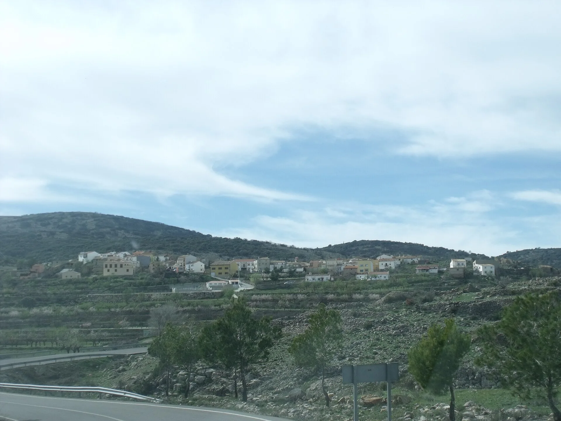
Sacañet occupies high ground in the Alto Palancia district, more than one thousand metres above sea level, and belongs to the Valencian Route 99 network of very small municipalities. Its identity is not a large monumental centre. It comes from the relationship between two inhabited villages —Sacañet and Canales—, historic snow-storage structures and a landscape of rounded hills, juniper, pine woods and seasonal wetlands. Cold, distance and track conditions are essential parts of planning a visit.

Two distinct villages
The official Valencian tourism profile identifies two inhabited settlements. Sacañet has the church of San Isidro Labrador, while Canales has a small church dedicated to Santa Bárbara. This corrects the unsupported attribution to Santiago found in some generic descriptions. A short walk in Sacañet takes in the church, town hall, park, gardens and springs without pretending that the village is an open-air museum.
Canales is not another street in the same centre; it is a separate settlement, so the road and weather must be assessed before travelling between them. The municipality stands at about 1,017 metres according to Castellón tourism. Conditions can be cold when the coast is mild, while summer still requires drinking water and sun protection.
Snow pits and the historic ice trade
Sacañet’s most distinctive heritage is its group of ventisqueros, structures that trapped snow in hollows so it could be compacted, stored and sold as ice in warmer months. Castellón tourism records 47 deposits in the municipality and singles out the Gran Ventisquero de los Frailes, built in 1769 by monks from the Charterhouse of Portaceli. Walls could be four metres thick, and sites above one thousand metres used ravines and natural dips to collect snow.
Ice was carried to Valencia, Llíria and Segorbe, connecting this remote landscape with distant urban markets. The official snow-pit record describes access by dirt track. That is not a promise that every car can pass in every season. Check conditions, avoid snow or mud episodes, and never climb unstable masonry.
Wetlands, springs and mountain scenery
The lagoons on the Sacañet Plains form a wetland whose visible water varies with rainfall and season. Visitors should value the mosaic of grassland, terraces and vegetation rather than expect a permanent lake. Fuente de la Carrasca and its notable trees are another official reference, alongside Prado del Canal, Loma del Resinero and Puerto de la Bellida.
Cueva del Pueblo lies near Sacañet, but a natural cave is not an invitation to enter without technical information, permission and suitable equipment. This guide recommends viewing the setting and following marked routes; it does not advise entering caves, shafts or ravines. Juniper, pine and holm oak habitats make fire prevention and taking all waste home particularly important.
A responsible visit plan
- First stop: take a short walk around Sacañet to locate San Isidro Labrador, the town hall and springs.
- Second stop: continue to Canales and Santa Bárbara only if road and weather conditions are suitable.
- Nature extension: select one area —the wetlands or snow pits— after confirming access and duration instead of chaining remote tracks together.
The official Canales–Sacañet route can guide properly prepared walkers. Do not improvise with an online phone map alone, as coverage may be uneven. Download the route, tell someone your plan, carry a battery, warm layer and water, and return before dark. In winter, a forecast of ice or snow changes the difficulty completely.
Practical precautions
- Check weather, road conditions and local notices before departure.
- Do not take a standard car onto an unverified dirt track.
- Respect livestock, crops, private land, springs and dry-stone features.
- Do not enter deteriorating snow structures or natural cavities.
- Services are limited in a very small municipality, so refuel and carry essentials before arrival.
Other places in Alto Palancia
Segorbe offers urban heritage and services, Pina de Montalgrao continues the mountain setting, and Soneja provides a different landscape within the district. Our municipality finder helps organise further stops.
Sources and editorial scope
This text was checked against Turisme Comunitat Valenciana, Castellón tourism and its dedicated snow-pit record. Municipal status is cross-checked with Spain’s National Statistics Institute. Place names, access and natural conditions should be confirmed through current official notices and on-site signs.
The editing date records changes to the text, not a new check of opening hours, telephone numbers or accessibility. Specific verification dates, where recorded, appear beside the relevant information.