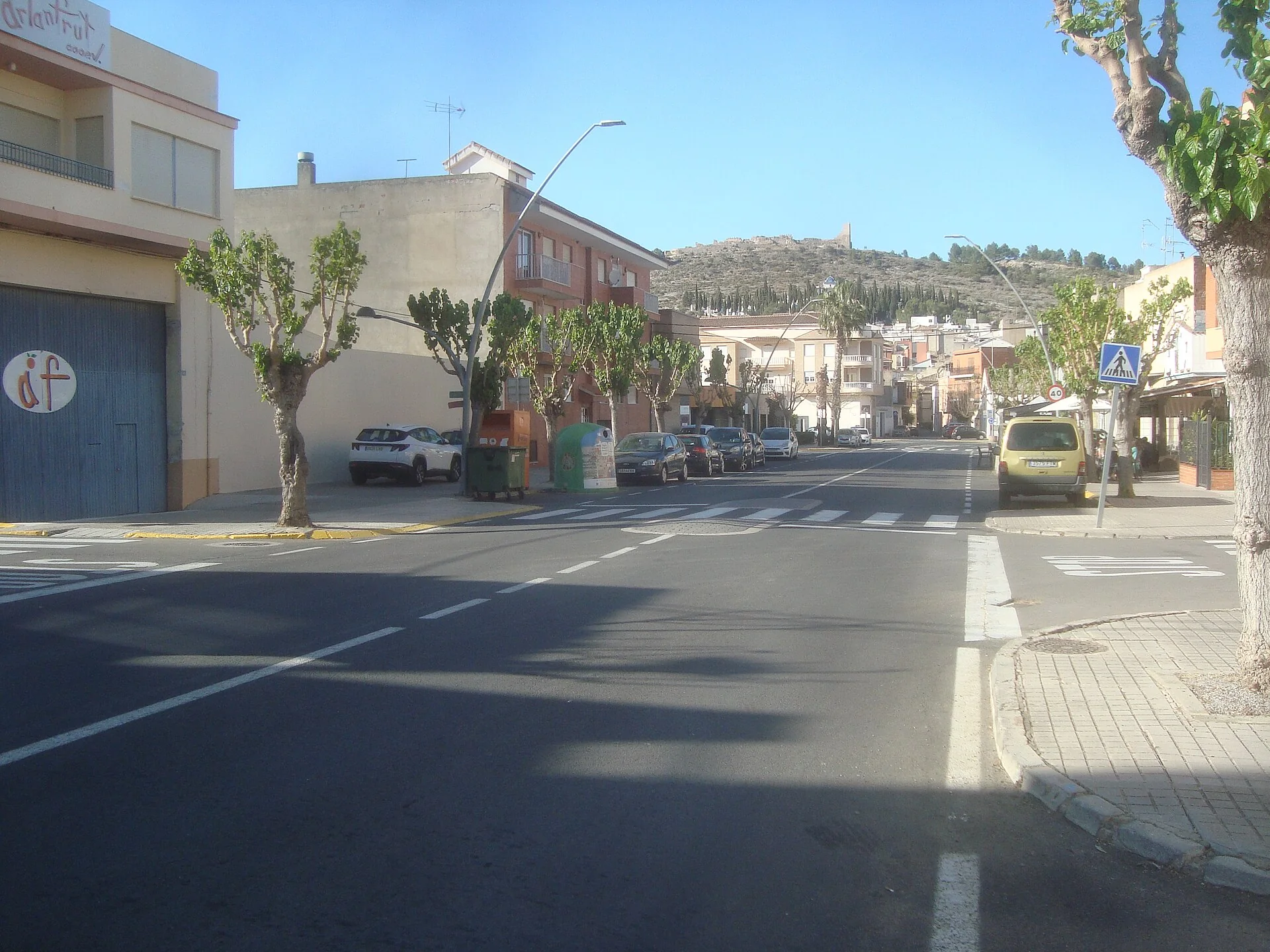
A visit with context
Artana can be read before entering it: the compact town sits between the slopes of Serra d’Espadà while the castle remains appear along the ridge above. That relationship between streets, fortification and mountain is the point of the visit. This is not a place to collect disconnected sights, but to walk gradually from the historic centre to higher ground and understand how the terrain shaped local history and the surrounding agricultural landscape.
Heritage and history
Sant Joan Baptista parish church is the natural starting point. The council explains that the nineteenth-century building occupies the site of the former medieval mosque. Its parish museum preserves an Islamic funerary stone with an Arabic inscription among its holdings. This evidence makes the church part of a much longer urban and religious story rather than an isolated landmark. Interior access is not guaranteed, so current opening arrangements should be checked beforehand.
The Calvary and the hermitage of Christ connect the town with the castle hill. The eighteenth-century complex is reached along the devotional stations of the Cross and the Sorrows of Mary. Walls and ruins of the fortification survive farther uphill. They should be understood as archaeological remains, not advertised as a complete castle: their defensive position and the view back over Artana are a substantial part of their interest.
Landscape and route
The council’s hiking guide describes routes across the municipal area and is the right place to compare distance and ascent. Artana belongs to the protected Serra d’Espadà landscape, so walkers need suitable footwear, water and a check of weather and official alerts. Regional park guidance asks visitors to stay on paths, keep noise down, take rubbish away and never light fires outside authorised places and periods. An early start is sensible in summer.
Planning the visit
A balanced visit begins around the church and nearby streets, continues through the Calvary, and keeps the climb towards the castle or a longer mountain walk for the coolest hours. Returning through the centre reveals the stepped form of the settlement and leaves time for local businesses. With only half a day, the church, Calvary and a viewpoint still form a coherent route without attempting an unsuitable hike.
Food and nearby connections
Food is best approached through what local kitchens actually offer that day: ask about olive oil, dryland produce and seasonal dishes instead of assuming that a generic regional recipe is unique to Artana. Bars and shops may have limited weekday hours. Betxí, Les Alqueries or Borriana can extend the trip, but Artana should remain the mountain stage; the coast must not be misrepresented as part of this municipality.
Responsible planning
This guide gives priority to municipal, provincial and regional-government sources. Its links let readers verify the original evidence and identify later changes. Use a current map for the journey and check transport on the day of travel: services to small municipalities can be infrequent, while an old timetable is not proof that a bus or facility still operates.
Distances should be adjusted for mobility, age and temperature. Sloping streets, uneven surfaces and buildings without continuous access can change a route substantially. Anyone requiring step-free access should ask the council or venue a specific question, because describing two places as close does not mean there are no steps. Respect for homes, crops, worship, local events and signs is part of a visit that benefits the community.
Related guides and data
Official sources and checks
The editing date records changes to the text, not a new check of opening hours, telephone numbers or accessibility. Specific verification dates, where recorded, appear beside the relevant information.