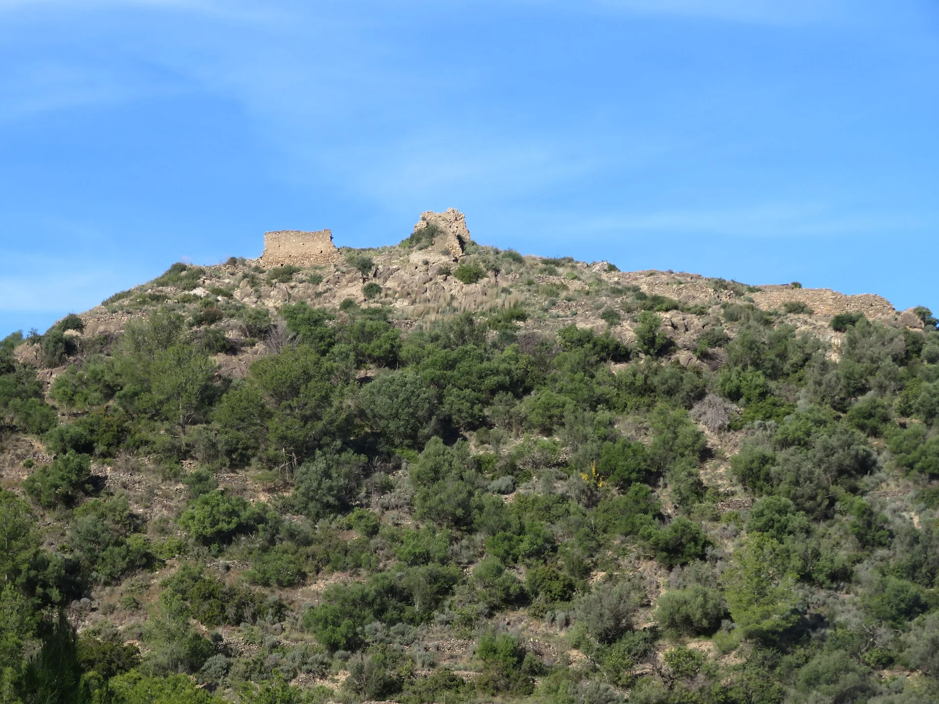
The photograph shows the ruins of Fanzara’s Castellet on a hillside covered with pines and scrub. Wall sections and stone structures can be distinguished near the top. This is neither a MIAU artwork nor an image of the Mijares River.
The Castellet served as a lookout
The provincial heritage record interprets the enclosure as a small secondary watchpoint controlling the road. It had an irregular elongated plan and is now completely ruined. Walls, the structure of the main tower and the bases of two further square towers can still be identified.
The site holds a long archaeological sequence
Bronze Age, Iberian and Islamic material has been found in the area. That sequence means the ruin should not be reduced to one date or imagined as a complete castle. The photograph records its exterior condition and vegetation at the time the image was taken.
MIAU and the Mijares require separate routes
MIAU turns village streets and façades into an open museum of murals, sculpture and other interventions. The settlement also stands beside the Mijares River. Both belong to a visit to Fanzara, but neither appears in this image and neither should label the castle ruins.
This documentary edit corrects the photograph and separates fortification, urban art and river. It does not verify access, stability, excavations, objects, authorship, mural condition, route, flow, swimming, safety, hours, parking or accessibility on site.
Related guides and local data
Sources consulted
- Turismo de Castellón — ruinas del Castellet
- Ayuntamiento de Fanzara — guía turística MIAU
- Turismo de Castellón — Fanzara
Documentary sources consulted on 1 September 2026. This is not an on-site inspection or a full check of opening hours, telephone numbers or accessibility. Any visiting conditions mentioned come from the linked sources.
The editing date records changes to the text, not a new check of opening hours, telephone numbers or accessibility. Specific verification dates, where recorded, appear beside the relevant information.