Cotes is a small municipality in the Càrcer valley of La Ribera Alta. Its village stands beside the Sellent River, where flat farmland gives way westwards to the lower slopes of Montot hill. Its scale suits an unhurried visit, but not a generic checklist. The places that genuinely explain Cotes are Sant Miquel church and the main square, traces of the former manor, water-shaped scenery and irrigated crops.
What to see in Cotes
Parish church of Sant Miquel
Sant Miquel church faces the main square and is the clearest landmark in the village. València Turisme records seven chapels and notes that its entrance façade opens onto the square. This relationship between church and public space is more revealing than a quick list: the building helps structure the centre of a compact, relatively level settlement. Interior access depends on worship or occasional opening arrangements, so an exterior visit may be the only appropriate option.
Chust family house and coat of arms
A coat of arms survives at the building known as the Chust family house in Plaça de Villanueva de Castellón. The provincial tourism source connects the property, where masonry once hidden by later finishes can be seen, with the site of the former manor palace, its stables and old passages under the paving towards the church and nearby buildings. These details help visitors read traces of the past, but they do not make the home or underground passages visitor attractions. Observe from public space, respect private property and describe the evidence as remains rather than a restored palace.
Archaeology beneath the old centre
The same source mentions archaeological deposits still awaiting investigation beneath the older part of the village, particularly under the church foundations and neighbouring buildings. Their importance is historical rather than that of an open excavation. This guide therefore does not promise an accessible archaeological site or assign a date not established in the sources. The point is that today’s street pattern sits above earlier occupation.
Rivers, farmland and Clot del Negre
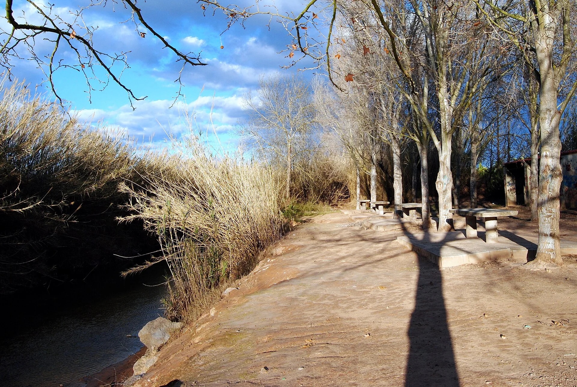
The village lies beside the Sellent, while the Wikimedia Commons record for the featured photograph identifies Clot del Negre with the Júcar as it passes Cotes. The picture shows a tree-shaded area beside water with outdoor tables, not the village centre. Correct identification prevents a landscape photograph from being presented as a non-existent monument and gives the guide a truthful way to explain the municipality’s river setting.
An older photograph does not guarantee the same access or facilities today. Check with the council before approaching Clot del Negre, especially after rain or high water, and respect closures, private land and signs. The presence of water does not mean that bathing is authorised or safe. Never enter the channel without current local information about flow and conditions.
From irrigated land to Montot
About half the municipal area is practically flat, with irrigated citrus forming much of its cultivated landscape. To the west the ground rises towards Montot, which reaches 419 metres according to València Turisme. The contrast can be appreciated from public tracks without crossing fields. For a walk, select a marked route, avoid peak summer heat and check wildfire, storm and agricultural-work warnings.
A practical half-day route
- Square and church: start in the main public space and look at Sant Miquel’s façade and the scale of the settlement.
- Manorial traces: find the Chust house and coat of arms from the street without attempting to enter private areas.
- Village walk: use nearby streets to understand the relationship between homes, square and farmland.
- Landscape: choose either the river environment or a public foothill path according to current conditions and weather.
Food and responsible visiting
The provincial source identifies baked rice with caretós, a type of tender bean, paella and Easter monas as local food traditions. They are cultural references, not a promise that a restaurant serves them every day. Check opening and availability before travelling. Patronal celebrations for Saint Isidore the Labourer and Saint Michael the Archangel traditionally take place in late September, but each year’s programme must be verified.
Cotes is best visited quietly. Park without obstructing farm access, keep noise low, take litter away and remain on public routes. For church access, events and waterside areas, current council information always takes precedence over a travel guide.
Related guides
Official and documentary sources
- València Turisme — Cotes
- Cotes Town Council
- Wikimedia Commons — image identification and licence
- INE — official municipality register
Editorially reviewed on 22 July 2026. Confirm access, events and natural conditions with official sources before travelling.
The editing date records changes to the text, not a new check of opening hours, telephone numbers or accessibility. Specific verification dates, where recorded, appear beside the relevant information.