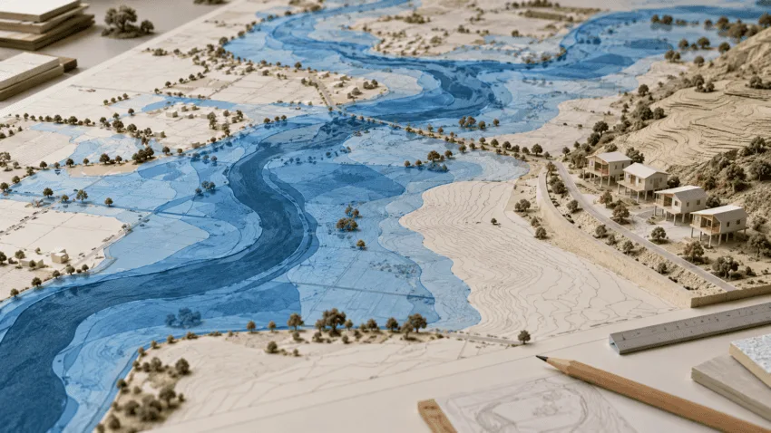
The first revision of Valencia’s flood map following the DANA expands the land classed as hazardous in the areas studied by 61.2%, from 27,162 to 43,779 hectares. This is more than a statistical update. The new boundaries will affect future planning, major renovations and construction according to the hazard level assigned to each site.
The work covers the upper and lower Magro, the l’Horta Sud ravines and the lower Turia downstream from Loriguilla reservoir. Detailed studies cover 51 municipalities, while the Generalitat says 85 towns have undergone some form of analysis. This is only the first phase, with the review later due to extend across the rest of the Valencian Community.
Flood-prone land in l’Horta Sud rises from 7,301 to 16,478 hectares
The largest change is in l’Horta Sud, where land within the various hazard levels grows by 125.7%. The lower Turia increases from 7,621 to 13,903 hectares, while rises in the upper and lower Magro are close to 9%.
The maps model return periods of 25, 100, 500 and 2,000 years and set seven hazard levels. Much of the additional area falls under level 7, catastrophic flooding. This extreme scenario is included to improve emergency planning and public awareness, not to predict that a similar event will recur on a particular date.
Raised homes and limits on underground parking
Proposals include raising new homes and comprehensively renovated buildings to the flood level calculated for a 500-year event. In established urban areas, buildings would be raised to the expected water depth where it exceeds 80 centimetres; below that threshold, they would still be raised by at least 80 centimetres and combined with self-protection measures. Restrictions on underground parking and bans on certain uses are also proposed for hazard levels 6 and 7.
Other recommendations include floodable parks, water-retention areas, relocating vulnerable uses and improving evacuation. Implementation will depend on planning rules and municipal powers. Of 74 municipalities assessed, only 12 had adapted their structural master plan to flood risk, according to figures presented on Thursday.
The revision is due to appear in the DOGV and enter a twenty-working-day public consultation before approval. Residents and authorities will then be able to inspect the maps and submit comments. The next verifiable milestones are the official publication, final approval and extension of the study to the rest of the region.