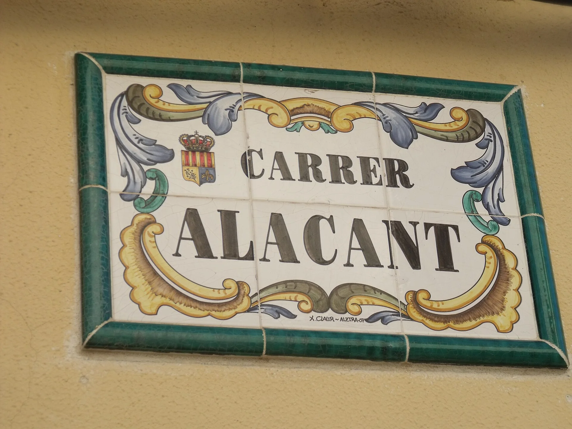
Llocnou d’En Fenollet lies in the Barxeta valley between Penyal del Puig and the Manuel river. This corrects the former template, which placed it vaguely in the Cànyoles valley. Its distinct history is told through the Fenollet lineage, Sant Dídac d’Alcalà church, protected devotional panels and an irrigation network organised around Séquia del Puig. The featured photograph shows the ceramic Carrer Alacant street sign, not a panorama of a historic centre.
What to see in Llocnou d’En Fenollet
Sant Dídac d’Alcalà church
Turisme La Costera dates Sant Dídac d’Alcalà church to the seventeenth century and presents it as the municipality’s main architectural reference. Its exterior locates the urban centre. Admission depends on worship, repairs and specific openings, so this guide publishes no fixed timetable and promises no entry. If closed, the route remains worthwhile through the façade and immediate setting.
Protected devotional panels
The same source identifies the ceramic image of Sant Antoni de Pàdua and the panel of Mare de Déu dels Dolors with the crucified Christ as locally relevant protected heritage. They form part of the streetscape and should be viewed from public space without touching them or entering homes. They must be distinguished from the Carrer Alacant sign in the photograph: both use ceramics, but a street nameplate is not automatically a protected devotional panel.
Streets and village scale
The walk between church, panels and signs makes a compact municipality legible without inventing a grand “historic quarter”. Attention goes to specific details: street names, façades, transitions towards farmland and places where water has shaped the layout. Doorways, agricultural access and residents’ privacy must always be respected.
From the Fenollets to Plantades del Puig
The village name comes from the Fenollet lineage, which held seigneurial rights in several nearby places after the Christian conquest. The University of Valencia’s historic lordships archive records a second settlement charter granted in 1611 by Beatriu Albinyana i de Fenollet. Regional tourism information adds that the territory formed part of the Capçades del Puig, where vineyards were planted in the Islamic period. In the eighteenth and nineteenth centuries, these were replaced by plantings linked to rice cultivation, producing the name Plantades del Puig.
Séquia del Puig and the water landscape
Irrigation water is central to Llocnou’s history and economy. Turisme La Costera explains that branches across the municipality belong to Séquia del Puig, a new irrigated area built between 1458 and 1465. The system took water from the Albaida river at a weir near Alboi. It helps interpret the landscape but does not authorise walking on every bank: stay on public roads, do not operate gates and keep away from channels and riverbeds during rain.
A two-hour walking route
- Begin at Sant Dídac. View the seventeenth-century church and check any opening locally.
- Find the documented panels. Distinguish devotional scenes from ceramic street signs and photograph from public space.
- Walk slowly through the centre. Relate names and façades to the Fenollet history.
- Finish towards the farmland. Use a safe public road to understand Séquia del Puig and the Barxeta valley.
There is no need to enter property or improvise a mountain trail. Any extension towards Penyal del Puig requires separate planning, mapping and confirmation of lawful access.
Festivals and local life
Patronal festivities are held in August for Sant Dídac, Mare de Déu dels Dolors and Sant Roc, according to regional tourism information. Exact dates and events change each year, so consult the current municipal programme. During festivals, respect traffic restrictions, fireworks and worship; at other times, Llocnou offers a quiet walk through everyday heritage and irrigated landscape.
Preparing your visit
Llocnou borders Barxeta, El Genovés and Xàtiva, making combinations possible, but each place deserves its own time. Check current transport and parking, carry water and avoid peak heat. Do not assign the municipality generic castles or historic corridors belonging elsewhere. Its contribution is more precise: a seventeenth-century church, protected devotional ceramics, documented seigneurial history and farmland built around a medieval irrigation channel.
Related guides and data
Official sources and checks
The editing date records changes to the text, not a new check of opening hours, telephone numbers or accessibility. Specific verification dates, where recorded, appear beside the relevant information.