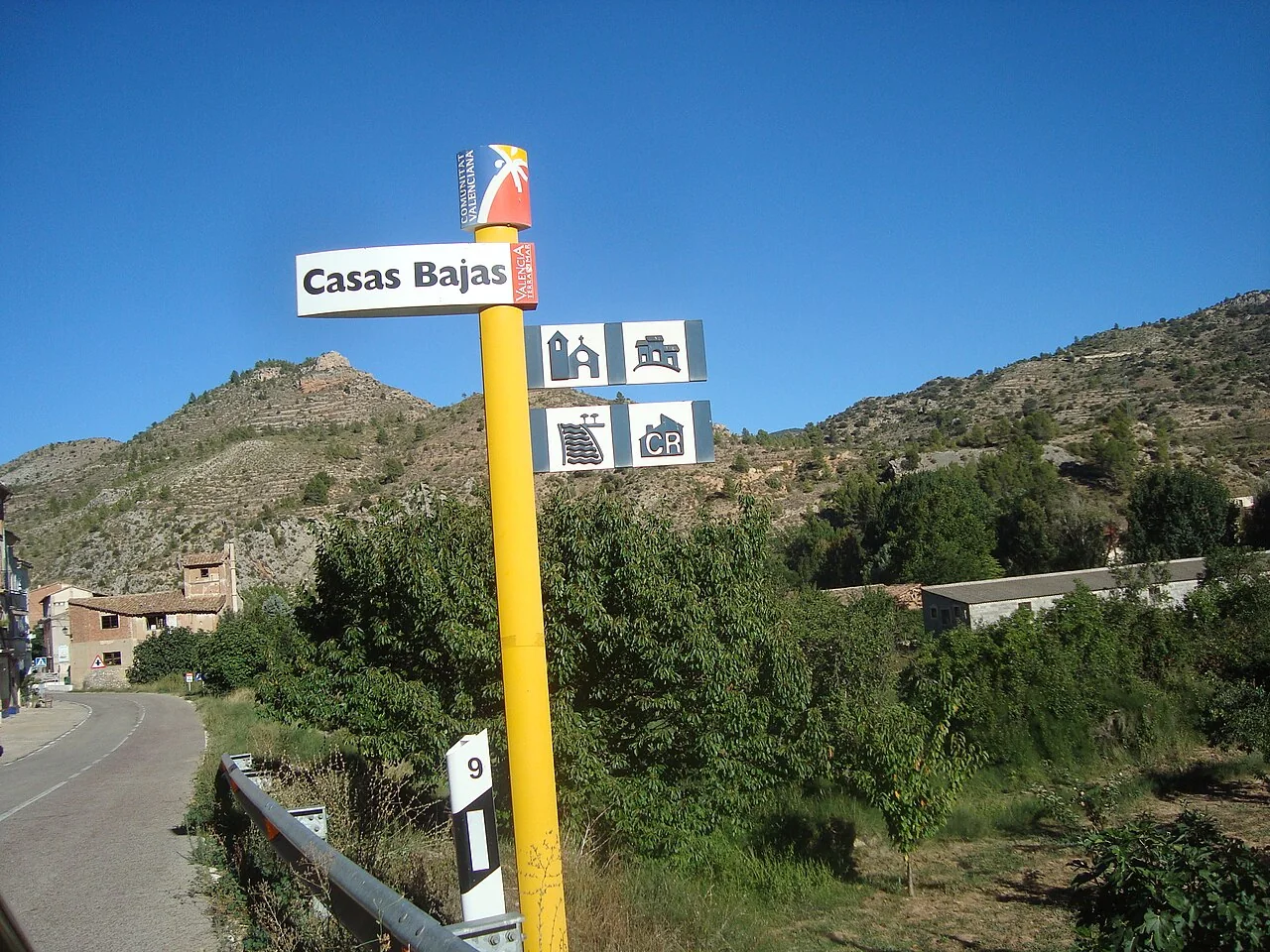
A visit with context
Casas Bajas occupies the southern Rincón de Ademuz, where the Turia crosses fertile ground before narrowing between mountain relief. The entrance sign, orchards and mountains in the featured image convey that position without pretending to be a monumental panorama. This is a mountainous municipality: the provincial listing gives elevations of 981 metres for La Somera, 1,057 for Peña Alta and 1,045 for Molatilla, useful context for weather and ascent.
Heritage and history
The nineteenth-century San Salvador church is the principal landmark in the settlement. An eighteenth-century watermill adds the productive history of the river and has been restored with interpretation panels and temporary exhibitions. The province advises checking hours with the council, an essential warning because a rural facility may not open daily. The area beside the mill connects building, watercourse and riverside vegetation on one manageable route.
Barraca Grande in El Pinar represents dry-stone construction. Armajal, Cañora and Vandonguillo springs and places including Cambretas, Peña Alta and Chopera del Molino increase the options but do not form one automatic trail. Choose an official route, check distance and ascent, carry water and stay away from ravines during rain. Rambla and Barranco de Malas Noches can respond rapidly during intense storms.
Landscape and route
The mill also marks one point in the Arte y Naturaleza sculpture project. El Caminante by Lucas Karrvaz introduces a wider collection distributed across the district; it would be inaccurate to claim all the works are in Casas Bajas. The distinction creates a useful plan: see the local sculpture and, if interested, arrange other Rincón locations separately.
Planning the visit
A balanced day starts at San Salvador, continues to the mill and riverbank, and reserves springs or mountains for a properly prepared outing. The provincial food account includes gachas and other upland cooking, best confirmed with local businesses. Winter can bring cold and ice, while summer adds heat and fire risk. Casas Altas and Torrebaja extend the route provided their landmarks and access details remain in their own guides.
Responsible planning
This guide gives priority to municipal, provincial and regional-government sources. Its links let readers verify the original evidence and identify later changes. Use a current map for the journey and check transport on the day of travel: services to small municipalities can be infrequent, while an old timetable is not proof that a bus or facility still operates.
Distances should be adjusted for mobility, age and temperature. Sloping streets, uneven surfaces and buildings without continuous access can change a route substantially. Anyone requiring step-free access should ask the council or venue a specific question, because describing two places as close does not mean there are no steps. Respect for homes, crops, worship, local events and signs is part of a visit that benefits the community.
Related guides and data
Official sources and checks
The editing date records changes to the text, not a new check of opening hours, telephone numbers or accessibility. Specific verification dates, where recorded, appear beside the relevant information.