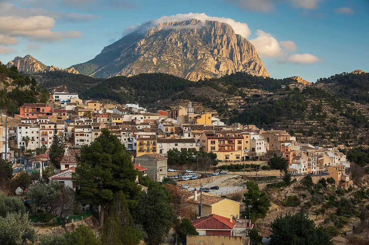
Sella stands on the southern slope of the Aitana mountains, where ravines, terraces and irrigation channels explain much of the village’s history. A visit is more than a walk through a mountain settlement: it reveals how spring water was shared between orchards and mills, leads into the traditional centre, and helps visitors choose between an easy marked route and more demanding mountain activities.
What to see in Sella
Plaça Major and Santa Anna Church
Plaça Major is a useful reference point among the village’s steep streets. Santa Anna Church stands here, built in the seventeenth and eighteenth centuries on the site of the former mosque. Its bell tower was completed in 1925, so the building reflects different stages of local history. It remains a place of worship: interior access depends on services and daily opening, and visitors should remain quiet during a celebration.
Pont Vell and the watermills
Water is not a decorative detail in Sella; it is the key to reading the landscape. Pont Vell, Molí del Pont Vell and Molí de les Penyetes belong to a system in which the same flow could be used in sequence before continuing towards farmland. Look beyond the buildings to the channels, basins and changes in height: together they show how irrigation and water power were organised.
SL-CV 112 Water Route
The official circular route is 6.3 kilometres long, graded low difficulty and estimated at about 2 hours 45 minutes. It passes elements of the historic water network and connects the countryside with the village centre. Tourism sources identify Font del Pi, Font de l’Alcàntera, channels, reservoirs, weirs and old mills along this landscape, as well as agricultural terraces supported by dry-stone walls.
The published time is only a guide: stops, heat and trail conditions can make the walk longer. A route that follows water infrastructure does not guarantee flowing water or safe swimming. Respect private land, irrigation works and signs, carry drinking water and check the weather and wildfire risk before setting out.
Santa Bàrbara Castle and chapel
Above the centre are the remains associated with the castle and Santa Bàrbara, a viewpoint that helps explain the settlement’s defensive position and its visual connection with the valley. It should not be treated as an automatic extension of an urban stroll: follow the authorised approach and assess the gradient, surface and conditions. With only half a day, the church, Pont Vell and part of the Water Route form a more manageable visit.
Mountain activities have a different difficulty
Sella is also a base for canyoning, climbing and longer routes in the Aitana area. These are not equivalent to the SL-CV 112. The l’Arc and Xarquer-Castellets ravines, climbing walls and mountain ascents require experience, equipment, current route information and, where appropriate, a qualified guide. A general village guide cannot replace a technical mountain itinerary.
A half-day itinerary
- Start in Plaça Major and view Santa Anna Church, entering only if it is open.
- Walk down towards Pont Vell and look for the relationship between bridge, mills, channels and terraces.
- Complete the SL-CV 112 if time and conditions allow; for a shorter visit, use a clearly marked section and return by the same safe approach.
- Keep Santa Bàrbara or any serious mountain activity for a separately planned second stage.
Local food and nearby places
Local cooking shares inland Marina Baixa dishes such as arròs amb fesols i penques, borra de melva, fasedures and several kinds of coca. Availability varies by restaurant and season, so ask what is locally prepared rather than expecting every dish. A wider route can continue to Tàrbena, La Vila Joiosa or l’Alfàs del Pi, but not all three in the same half-day.
Official sources and planning
The editing date records changes to the text, not a new check of opening hours, telephone numbers or accessibility. Specific verification dates, where recorded, appear beside the relevant information.