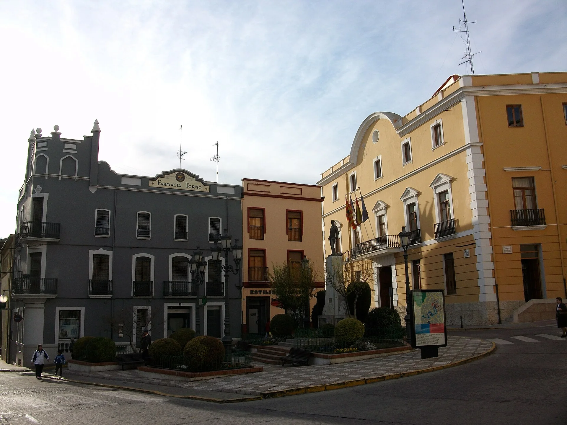
Two details to look for in El Raval
Oliva Turisme’s map highlights Carrer de la Hoz for its houses built on rock and sloping L-shaped layout. At Tossalet del Doix, the view brings together Sant Roc’s domes, Santa María and the sea. These are specific ways to read the neighbourhood, not a promise of a step-free or level walk.
Santa Anna is not an intact medieval castle
Santa Anna’s fortification belongs to sixteenth-century coastal defence. Its position above the town explains its purpose better than a generic description of a castle with views. We do not treat the ascent as equivalent to walking through El Raval or claim to have verified the route’s accessibility.
The marsh works differently
The Pego-Oliva marsh combines wetland with rice cultivation. Birdwatching is one of its attractions, but it is also farmland: fields are not unrestricted walking areas. A nature outing does not replace a visit to the old town, and there is no need to fit both into the same day.
Natural groundwater outlets called ullals feed a network of irrigation channels. The Pego i les Valls guide also describes the local bombón and bomba rice varieties. Following the role of water gives the landscape meaning beyond searching for a single photogenic view of the marsh.
Our recommendation is to choose between urban heritage and wetland first. Santa Anna requires a separate decision about the climb; the marsh requires a permitted route and a check of park notices. This page does not confirm monument opening hours, trail conditions or bathing arrangements.
Related guides and local data
Heritage sources consulted
- Oliva Turisme — Plano del centro histórico
- Universitat Politècnica de València — Castell de Santa Anna
- Turisme Comunitat Valenciana — Marjal de Pego-Oliva
- Pego i les Valls — Guía de la marjal
Sources consulted on 27 August 2026. This does not include a check of opening hours, telephone numbers or accessibility.
The editing date records changes to the text, not a new check of opening hours, telephone numbers or accessibility. Specific verification dates, where recorded, appear beside the relevant information.