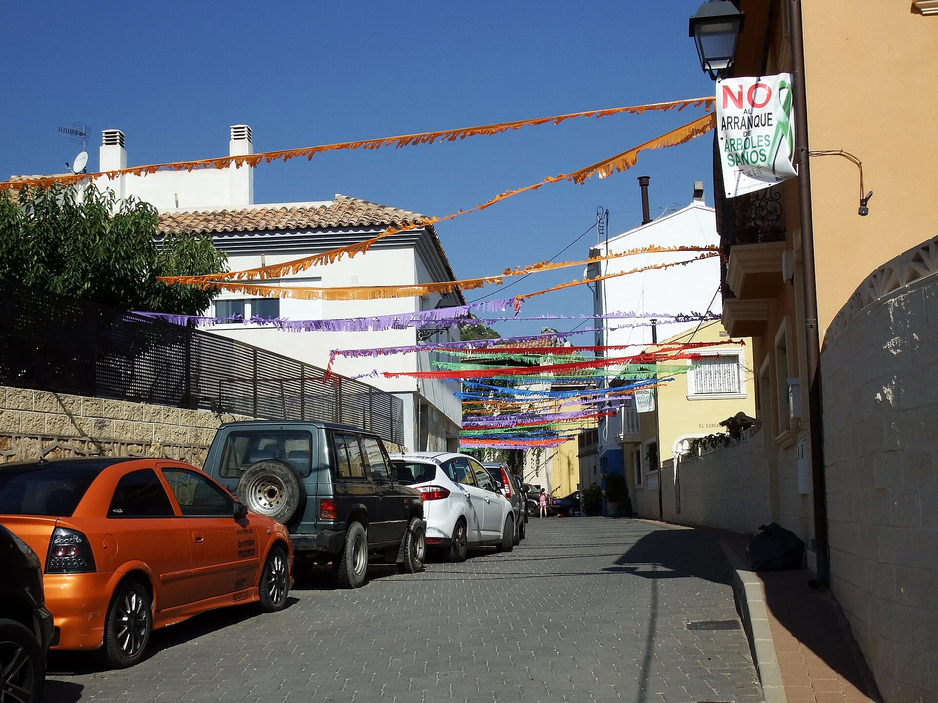
Benifato stands at 658 metres on the northern side of the Aitana range in the Guadalest valley. The village and the mountain offer two different experiences: the centre contains streets with Arab roots, stone springs, a washhouse and church, while Font de Partegat gives access to much more demanding routes. Keeping these plans separate prevents a high Aitana ascent from being mistaken for a casual stroll.
What to see in Benifato
San Miguel church and the village
Steep streets preserve the compact shape of an old farmstead. San Miguel Arcángel parish church is the principal architectural landmark, accompanied by stone fountains around the village. The urban walk is short, but it reveals how houses adapt to the slope and how water has influenced everyday life in this mountain community.
Municipal washhouse
The washhouse adds another layer to the village water network and the domestic work carried out before homes had a modern supply. It is therefore more than a decorative stop. Keep the area clear and clean, and never describe water as safe to drink unless current health information explicitly confirms it.
Font de Partegat
The Font de Partegat recreation area is one of the best-known gateways to the range. Routes into the higher parts of Aitana begin nearby. A spring and facilities do not guarantee water flow, parking space or permission to light a fire; current restrictions, wildfire risk and road access must be checked before travelling.
Font dels Xorrets and other springs
Aitana’s northern side contains springs including Font dels Xorrets, Font Vella, Font de l’Arbre and Font de Terel·la. At Font dels Xorrets, municipal information describes water emerging directly from the rock. This network helps explain the mountain as an aquifer, but hikers should never depend on natural springs for their drinking supply.
Historic snow pits
Snow pits stored winter snow to produce ice for transport to coastal towns. Clot dels Teixos, built in the 17th century, is among the best preserved; other examples include Clot del Bardalet and the Font Vella pit. These are fragile open structures, so view them without climbing the walls or approaching unstable edges.
Forata and Passet de la Rabosa
The high range contains formations such as Forata, Passet de la Rabosa, the Partegat chasms and Forat de la Favara, as well as protected botanical micro-reserves. These names support a real itinerary, but some passages are rocky and narrow. Include them only after checking the route, ascent, weather and the group’s mountain experience.
How to plan the visit
- Walk around San Miguel church, the village fountains and the washhouse.
- For an easier outing, visit the accessible Font de Partegat area without starting a late ascent.
- For a mountain day, choose one official route rather than automatically combining Forata, chasms and snow pits.
- Return with daylight to spare and allow for rapid weather changes at altitude.
Practical advice
- Altitude can bring cold, ice or snow in winter and strong sun exposure in summer.
- Carry water, footwear with grip, sun protection and an offline copy of the route.
- Respect botanical micro-reserves, stay on paths and do not collect plants.
- Check fire regulations and public notices before using any recreation area.
Related guides and local data
Official sources
The editing date records changes to the text, not a new check of opening hours, telephone numbers or accessibility. Specific verification dates, where recorded, appear beside the relevant information.