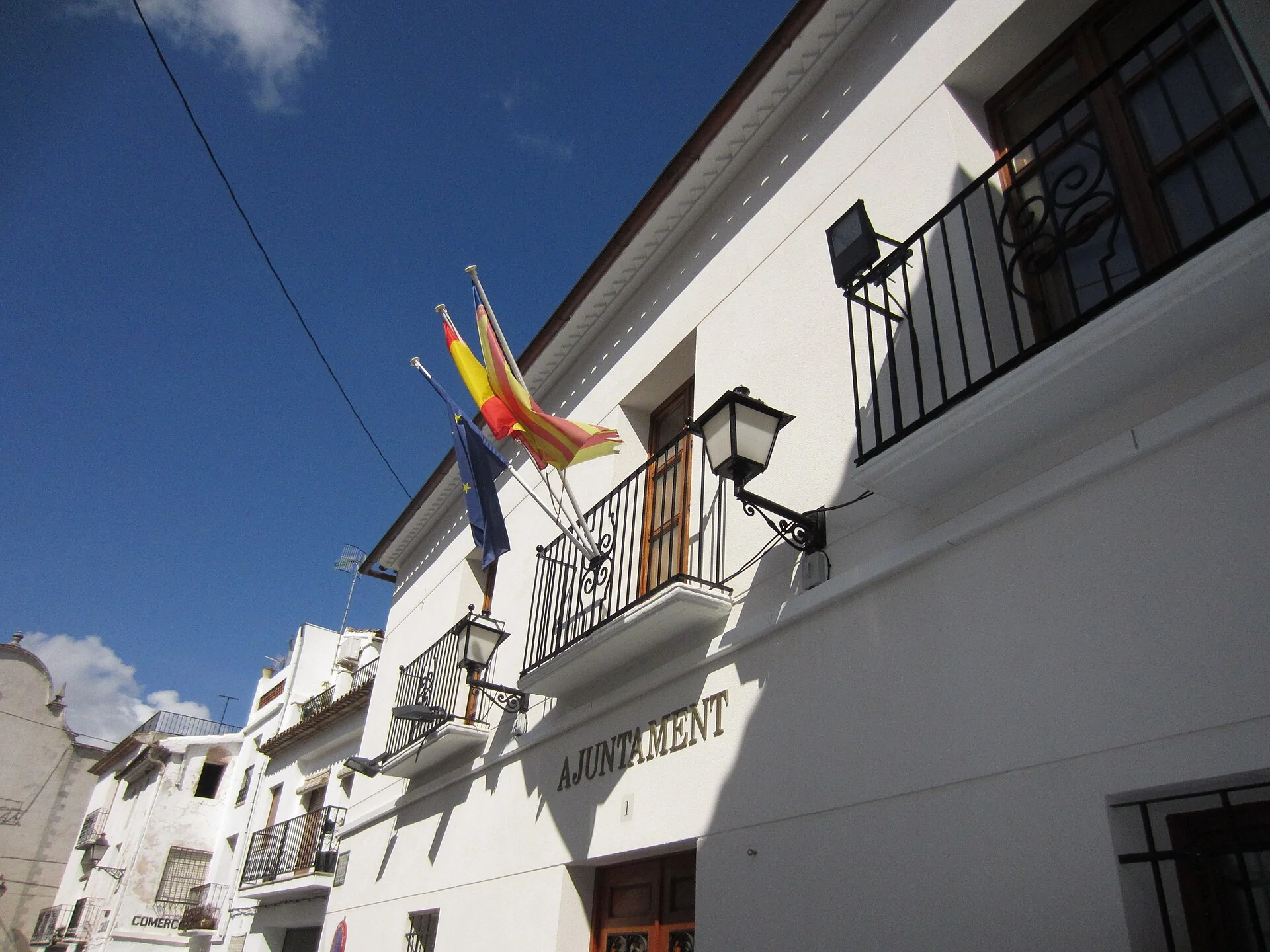
Benimantell stands on Aitana’s northern slope at 547 metres, while its municipality reaches both Guadalest Reservoir and the range’s southern side. This setting combines a medieval street plan with water and mountain routes. A realistic visit means choosing between the village walk, the reservoir circuit and Sender de la Serra; they are not interchangeable stops and cannot all be fitted into one morning.
What to see in Benimantell
San Vicente Mártir church
The 18th-century parish church dominates the village profile. Its rectangular tower ends in an octagonal structure with a blue-toned roof, making it easy to recognise from the steep streets. The square is a useful orientation point and the start of several walks, including the descent towards the reservoir.
Medieval street pattern
Benimantell retains steep streets, shaded alleys and houses fitted to the hillside. Traditional valley homes often placed livestock on the ground floor, living rooms above and crop storage on the top level. Walking this pattern slowly provides more context than a generic list of squares and reveals tiled roofs and old dry-stone field walls.
Walk to El Castell de Guadalest
The council proposes a walk of roughly 1.2 kilometres between Benimantell and El Castell de Guadalest, estimating 14 minutes each way. It is a short connection between two separate villages and can avoid a car journey in suitable conditions. The published time is only a guide, so allow for the return, road crossings and individual pace.
Guadalest Reservoir route
The municipal itinerary starts at the church, descends Calle La Creueta and passes Font de Baix before reaching reservoir tracks. It can continue across the dam, through Barranc del Sitjar and over the Guadalest River bridge towards Beniardà. There are steep sections, and crossing Barranc del Muladar can be difficult when water is flowing, so the full circuit requires a current route and ground check.
Font del Molí and PR-CV 464
Sender de la Serra links Font del Molí with Font de Partegat on a partly circular route of about 12 kilometres and three hours, according to the council. The first two kilometres to Font del Molí follow a quiet paved road; the route then climbs among almond and cherry trees and passes farm buildings, rocks and an old snow pit. Font de Partegat itself belongs to Benifato.
Aitana is a separate mountain objective
It is possible to plan an Aitana summit route from Font de Partegat, but this is a different outing involving chasms, snow pits, protected botanical areas and mountain passages. It should not be added automatically after 12 kilometres on Sender de la Serra. Altitude can bring mist, ice and rapid temperature changes even when conditions in the valley look settled.
Plans for different amounts of time
- Two hours: church, historic streets and an out-and-back walk towards El Castell de Guadalest.
- Half a day: village plus a descent to one reservoir viewpoint, returning on the known route.
- Full day: reservoir circuit or PR-CV 464, but not both together.
Food and services
Benimantell maintains a close link with valley cooking and holds a food week devoted to olleta de blat. Terraces of olive, almond and cherry trees explain part of the local produce. Restaurants and accommodation add value to the visit, but opening, registration and availability should be confirmed, particularly outside weekends.
Before setting out
- Download the council route, and carry water, footwear with grip and sun protection.
- Do not depend on spring flow, and follow any current health notice.
- After rain, avoid ravines or flowing crossings and look for a safer alternative.
- Stay on paths, never light fires and respect crops and botanical reserves.
Related guides and local data
Official sources
The editing date records changes to the text, not a new check of opening hours, telephone numbers or accessibility. Specific verification dates, where recorded, appear beside the relevant information.