Albalat de la Ribera is best understood as a meeting point between urban heritage, farming and water. The historic centre retains buildings that explain the town’s development, while the iron bridge over the Júcar and the freshwater springs known as ullals reveal two different landscapes: the major river that structures La Ribera and the small springs associated with the Albufera wetlands. This guide offers a specific visit based on places identified by public tourism bodies, instead of treating the municipality as a collection of interchangeable stops.
Heritage in the centre of Albalat
Casa del Bou is one of the town’s distinctive references. The regional tourism authority dates it to the seventeenth or eighteenth century and notes that it may stand over medieval remains. It is more than a façade: it introduces the area’s historic domestic architecture and the evolution of the settlement. Nearby, the parish church of Sant Pere Apòstol is a Baroque building that retains traces of an earlier Gothic church. The provincial tourism profile documents it around 1701, so it is safer to describe it as an early eighteenth-century Baroque church than to assign a more exact construction date without consulting a specialist heritage study.
The urban walk can continue to the hermitage of Sant Roc and Sant Sebastià and the town hall, which València Turisme dates to 1644. Plaça de la Cort also deserves attention for its fountain and sculptures by Valencian artist Manuel Boix. The former slaughterhouse, now the municipal library, and the market show how everyday public buildings have acquired new uses. Access to interiors depends on civic or religious opening times, so regard them as possible visits rather than guaranteed attractions.
The iron bridge and the Júcar landscape
The iron bridge links Albalat with Polinyà de Xúquer. Official tourism sources state that work began in 1912 and place it within a wider group of metal bridges in La Ribera. It provides a useful viewpoint for understanding the relationship between the town and the river, but it should not be mistaken for an exclusively pedestrian space. Observe traffic and signs before stopping or crossing. A cycling proposal connects comparable bridges in Gavarda, Alzira, Riola, Fortaleny and Cullera; this helps place the structure in context, although riders should verify the total distance, surfaces and present condition of every section.
Beyond the town are irrigation channels, rice fields, market gardens and citrus groves. The Acequia Real del Júcar and the local Albalat channel help explain the continuity of irrigated farming. Agricultural tracks remain working spaces, however: use permitted routes, stay out of private plots and never obstruct gates or machinery.
The ullals and the wetlands
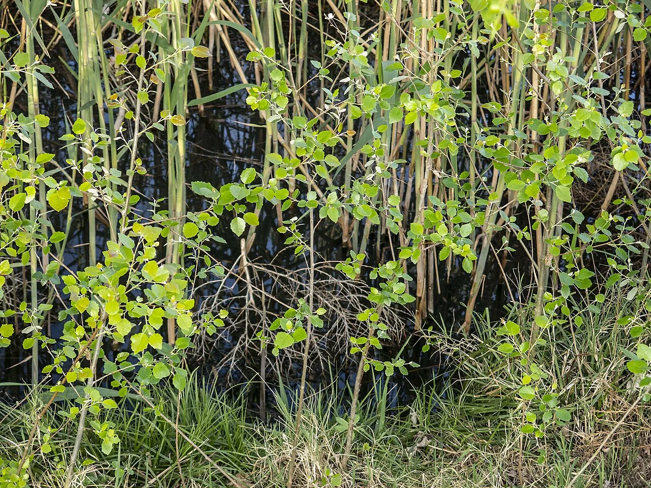
Part of the municipality belongs to the landscape of the Albufera Natural Park. The ullals are freshwater upwellings with particularly valuable plants and wildlife. A river route published by the Provincial Council identifies Ullal del Mallorquí, la Mula, la Senillera, el Gras and les Ànimes. Mula and Senillera are described as springs supporting threatened fish such as the Spanish toothcarp and Valencia toothcarp, as well as white water lilies. The main photograph shows Ullal de la Senillera; it is not a view of the historic centre.
The official route article predates this review, and wetland access may change because of conservation work, flooding or seasonal restrictions. This guide therefore gives no fixed distance and does not promise that the entire route is open. Check with the park or municipality, read the weather forecast and respect fences, signs and nesting areas before walking. The ground can remain waterlogged after heavy rain even when conditions in the town appear settled.
A practical half-day route
- Begin at Casa del Bou and explore the surroundings of Sant Pere church, the town hall and Plaça de la Cort.
- Include the former slaughterhouse and the market if their real opening times fit the walk.
- Continue to the iron bridge to interpret the Júcar and the irrigation landscape from a safe position.
- Treat the wetlands as a separate outing, or a final stop only after confirming official access to the ullals.
Local food reflects this watery, agricultural setting. Tourism profiles mention rice dishes, eel stew known as suc d’anguiles, lard cakes, escudellades, Easter buns and pumpkin-based arnadí. These are cultural references, not a promise that every dish is served daily; check menus and favour businesses in the municipality.
Accommodation: verify the registration
Historical information on this page included tourist-home registration VT-51650-V. The identifier is retained because it enables a useful check, but its former address, capacity and availability are not presented as current facts: those details can change. Before booking, search the Valencian Government’s public register of tourism businesses and establishments, then confirm conditions with the accommodation. An identifier appearing in an older record does not guarantee that its classification remains unchanged.
Official sources and nearby guides
- Comunitat Valenciana Tourism: Albalat de la Ribera
- València Turisme: local heritage and landscape
- Valencia Provincial Council: the ullals river route
To extend the outing, read the guides to Sueca, Benicull de Xúquer and Almussafes, or return to the municipality guide finder. They are independent destinations, not walking stops from Albalat.
The editing date records changes to the text, not a new check of opening hours, telephone numbers or accessibility. Specific verification dates, where recorded, appear beside the relevant information.