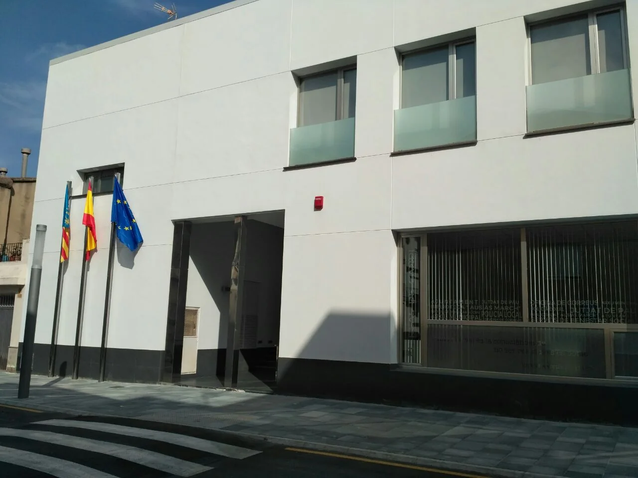
El Real de Gandia is a Safor market-garden municipality between the Serpis and the first Montdúver foothills. It is not a coastal district of Gandia and needs no borrowed beaches: its visit is explained by the Visitation church, Sacred Heart monument and Vernissa irrigation network. The photograph shows the contemporary façade of the new town hall, not a historic palace.
From an Andalusi farmstead to El Real
València Turisme traces the settlement to Al-Andalus, with an enclosed garden—the predecessor of a medieval palace—and an adjoining farmstead of agricultural houses. The documented definition of “Real” was formalised on 7 February 1725 in a deed authorised by notary Francesc Roger. This context explains market gardening and water management; it does not prove that a palace is preserved as a visitor attraction.
Visitation of Our Lady church
The principal church occupies the former site of a mosque and the aljama house. Its Latin-cross plan is covered by a barrel vault articulated with arches. Restored decoration represents restrained late-eighteenth-century Baroque.
The provincial source records the Our Lady of the Rosary altar, chapels for Our Lady of the Forsaken and Christ of Protection, Blessed Carmelo Bolta and Christ of Piety. José Justo Villalba carved the Christ of Protection in 1956–1957; this is not the construction date of the church. Murals are also documented on the dome exterior. Entry depends on worship and actual opening.
Sacred Heart monument
Jesuits inaugurated it on 24 June 1922, facing Gandia as a reference point for the district Catholic movement. The original obelisk was destroyed in 1936 and rebuilt in 1942, so the visible structure should not be described simply as intact from 1922. Use the existing approach without crossing plots or assuming lighting and step-free access.
Fils de l’Aigua: Vernissa irrigation route
The tourism route follows the irrigation system associated with the River Vernissa, which the profile says is over a thousand years old. It begins at Plaça de la Llibertat park and links the Sifó, Molí de Dalt, Séquia Mare water dividers, Casella, Benissacareig and the culture centre.
Molí de Dalt and Séquia Mare
Molí de Dalt is one of two surviving mills and dates from the eighteenth century. The dividers show how water was shared from the main channel. These are working or historic hydraulic structures, not scenery: never enter channels, move gates or cross cultivated land.
Casella and Benissacareig
Casella housed the worker responsible for the former road. Benissacareig adds farmland before the route ends at the culture centre. The profile gives no fixed distance or certified trail, so this guide invents none. Obtain current mapping, check road crossings and avoid floods, works and extreme heat.
Cova de l’Autopista: environmental site, not an improvised visit
The institutional source describes this labyrinthine underground network as the Valencian Community’s largest cave and stresses environmental and landscape value. It publishes no tourist entrance or guided visit in the profile. For safety and conservation, never turn it into a family-route stop, search beside motorway infrastructure or enter without authorisation and specific caving competence.
How to interpret the water landscape
Fils de l’Aigua is most useful when treated as an explanation of how the municipality worked rather than as a checklist of monuments. The Sifó, mill and water dividers represent different stages in moving, using and distributing Vernissa water. Look from public paths and compare each named element with the current municipal or tourism map before continuing. A missing sign is not permission to follow a channel or enter a field. This approach also separates El Real de Gandia from neighbouring Gandia: the route’s value lies in its own irrigation geography, while services or attractions in the larger town remain separate recommendations.
Planning and food
- Urban walk: town hall, Visitation church and central public space.
- Historic reading: Sacred Heart with the distinct dates 1922, 1936 and 1942.
- Water route: only a Fils de l’Aigua section that can be followed with current mapping.
Documented local food highlights paella and oven-baked rice. El Real offers market-garden and irrigation history; Gandia, Almoines and Beniarjó are separate outings, not places to attribute to this municipality.
Related guides and local data
Official source and verification
The editing date records changes to the text, not a new check of opening hours, telephone numbers or accessibility. Specific verification dates, where recorded, appear beside the relevant information.