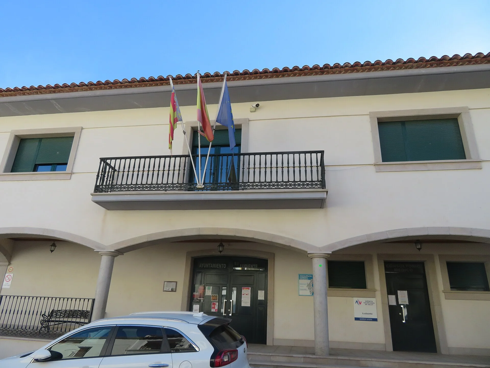
The photograph shows Ludiente town hall’s façade, balcony, flags, lettering and windows. It is neither a castle ruin nor a view of the Villahermosa River.
The former church retains visible defensive features
The fortified Nativity church was built between the late 15th and early 16th centuries. It has a rectangular plan, Gothic ribbing in the sacristy vault and loopholes opened during military use, particularly in the Carlist Wars. It is privately owned, no longer used for worship, and visits require prior arrangement.
Bou Negre stands on a summit outside the village
The castle, also called Buey Negro or La Mola, occupies a mountain between Ludiente and Argelita. Documented from the 12th century, it is considered Islamic in origin. Its large enclosure uses the plateau’s steep edges and retains a tower and defensive wall sections.
Giraba explains the Villahermosa valley
The council route links upper and lower Giraba, their narrow lanes, washhouse and circular San Vicente tower. It also descends towards the river and several pools. The leaflet describes water routes, but flow, swimming and safety change and must be checked before entering the channel.
This documentary edit corrects the photograph and separates town hall, church, castle and river. It does not verify offices, worship, ownership, booking, ruins, stability, paths, flow, swimming, water, signs, hours, parking or accessibility on site.
Related guides and local data
Sources consulted
- Turismo de Castellón — Ludiente
- Turismo de Castellón — iglesia fortificada
- Turismo de Castellón — castillo del Bou Negre
- Ayuntamiento de Ludiente — Giraba y río Villahermosa
Documentary sources consulted on 1 September 2026. This is not an on-site inspection or a full check of opening hours, telephone numbers or accessibility. Any visiting conditions mentioned come from the linked sources.
The editing date records changes to the text, not a new check of opening hours, telephone numbers or accessibility. Specific verification dates, where recorded, appear beside the relevant information.