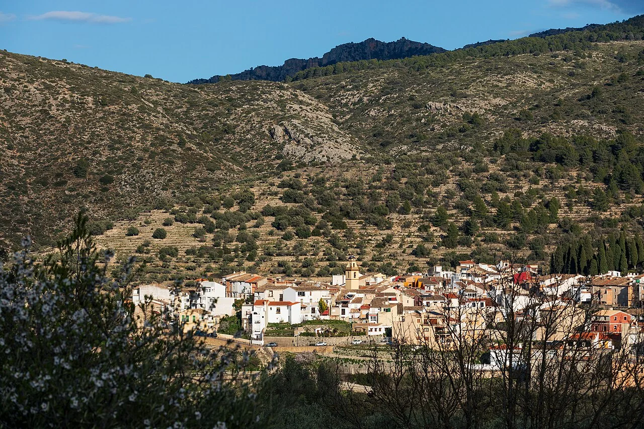
Castell de Castells contains one of inland Alicante’s most distinctive archaeological sites: the Pla de Petracos rock-art sanctuary. A visit can be a cultural day combining the macro-schematic art room and Ethnological Museum with the site, or a dedicated walking day. Choose carefully, because both the route from the village to the sanctuary and PR-CV 151 Els Arcs exceed 13 kilometres.
What to see in Castell de Castells
Rock-art interpretation room
The municipal display reproduces and explains paintings from the Pla de Petracos shelters. It is the best introduction before visiting the site because it helps identify macro-schematic art and its Neolithic context. The museum space is at Carrer Major 13; opening times and guided visits should be confirmed with the town council.
Ethnological Museum
The ethnographic collection contains objects connected with rural life and traditional work in Alicante’s mountains. Rather than offering a generic description of the village, it provides specific context for agriculture, homes and daily labour. The parish church and nearby streets complete a quiet walk through the centre without inventing a larger monumental circuit.
Pla de Petracos sanctuary
The complex comprises rock shelters and a cave containing macro-schematic and Levantine representations roughly seven to eight thousand years old. Discovered in 1980, it forms part of the Mediterranean rock art recognised as UNESCO World Heritage. Information panels and conservation measures make viewing possible, but paintings must never be touched, closely illuminated or photographed against current rules.
Museum-to-sanctuary walk
The council’s out-and-back route covers 13.95 kilometres, is graded moderate and has an estimated duration of four hours. It starts at the museum, passes the washhouse and Font del Xorro, crosses the Castells River and continues by Gomis mill, built in 1731, and the abandoned settlement of Espetla. Published accumulated ascent is 1,202 metres, so this is not a short walk between two visitor buildings.
PR-CV 151 Els Arcs
This circular route starts at Pla d’Aialt and covers 13 kilometres. The council lists two hours and 32 minutes and a low difficulty grade, although the distance still requires water and preparation. The objective is Els Arcs, a geological formation protected as a Municipal Natural Site. Some junctions and markings may confuse, so carry the official description and an offline track.
Serrella, Aixortà and harder routes
Serrella, Aixortà, Forat Negre and Alfaro frame the municipality. Routes also lead to Castellet and Morro Blau, with the latter described as more demanding. Do not add them automatically to Pla de Petracos or Els Arcs: each deserves a separate day and a check of weather, signs and the group’s ability.
How to divide the visit
- Cultural plan: rock-art room, Ethnological Museum, church and a road journey to Pla de Petracos.
- Walking plan: museum–sanctuary route or PR-CV 151, choosing one.
- Second day: Castellet or Morro Blau with current mapping and conditions.
Local food
Official tourism sources highlight mintxos with farinetes i borra, preserved vegetables, cured meats, stews and locally produced olive oil. This food has a direct connection to the agricultural landscape. Check restaurant and accommodation opening and reservations, particularly on weekdays.
Conservation and safety
- Never touch the shelters or leave designated viewing points at Pla de Petracos.
- For long routes carry water, footwear with grip and an offline GPX track or map.
- Do not cross the river when flow or ground conditions are unsafe.
- Respect abandoned settlements, farm buildings and cultivated private land.
Related guides and local data
Official sources
The editing date records changes to the text, not a new check of opening hours, telephone numbers or accessibility. Specific verification dates, where recorded, appear beside the relevant information.