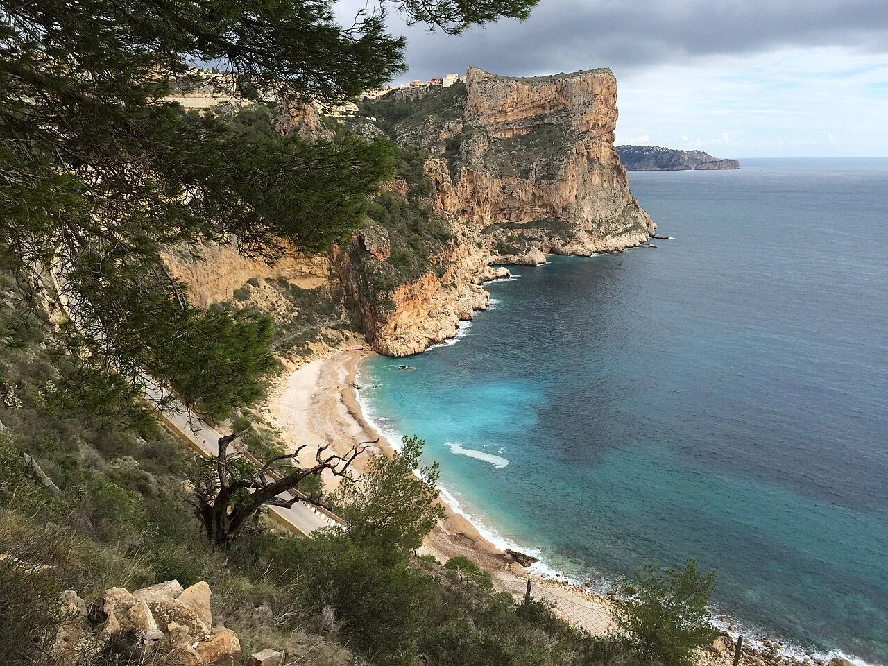
El Poble Nou de Benitatxell, also known as Benitachell, has two settings to locate separately: the town centre and the coast at El Moraig. A photograph of the cove does not tell the whole story of the village, and a walk through the centre does not finish a few steps from the sea.
What to look for at El Moraig
The cove combines pebbles, cliffs and the outline of Morro Falquí. The Moraig fault is another feature of this area: geology is a reason to visit in its own right, not simply a backdrop for swimming. The municipal tourism portal distinguishes these places and their viewpoints.
Cova dels Arcs belongs to the same coastal landscape. The regional MACMA authority records its former use as shelter for sailors and as a water supply. Viewing the cave from an authorised area is not the same as caving or diving; this guide does not suggest entering passages or crossing barriers.
The Portalet walk and the coastal trails
The municipal town route starts at the church viewpoint and includes El Portalet. It offers a way to spend time in the inhabited centre, with stops of its own, rather than treating the village as somewhere to pass through on the way to the cove.
The municipal walking map distinguishes the fault trail from the cliff trail towards Llebeig. Choose your route before setting out: do not extend a beach visit without checking distance, elevation and the return journey. Also check the current access and parking arrangements at El Moraig; this guide does not promise free parking or the ability to drive down to the water.
Related guides and local data
Sources consulted
- Turismo Benitatxell · El Moraig
- MACMA · Cova del Moraig
- Turismo Benitatxell · Ruta urbana
- Ajuntament del Poble Nou de Benitatxell · Mapa de senderismo
Documentary sources consulted on 28 August 2026. This is not an on-site inspection or a full check of opening hours, telephone numbers or accessibility. Any visiting conditions mentioned come from the linked sources.
The editing date records changes to the text, not a new check of opening hours, telephone numbers or accessibility. Specific verification dates, where recorded, appear beside the relevant information.