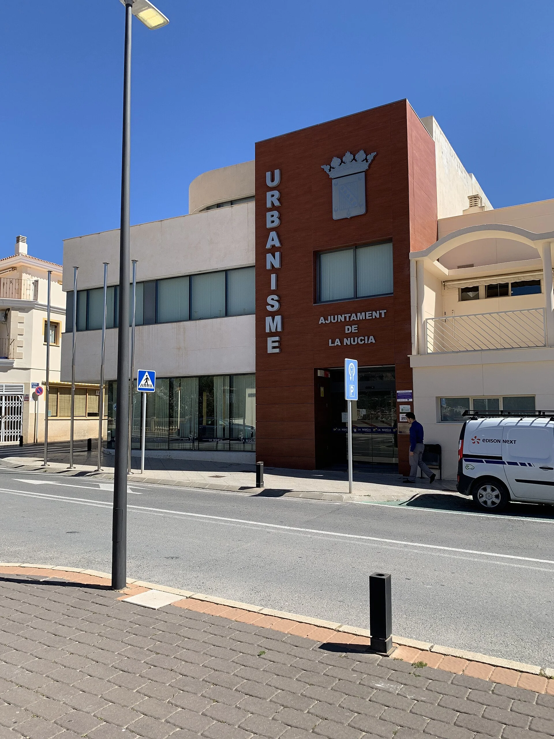
La Nucía makes sense through water, the old town and the surrounding landscape, not a list of unnamed viewpoints. The traditional centre contains the church, washhouse, former school and short streets. Font de la Favara lies beside the town, while Captivador and the trail network extend the visit. Camilo Cano Sports City is a separate zone whose facilities depend on events and access conditions.
A specific old-town route
Start at Tourist Info and Plaça Major beside the church, then connect the former washhouse, the university centre in the old school, Carrer Major and Sant Rafael Chapel. The council offers a 1.1-kilometre digital treasure hunt designed around thirteen clues and roughly seventy minutes. It provides a family framework, but the same heritage stops can be recognised without using a phone.
Washhouse and Font de la Favara
The restored washhouse explains everyday water use. Nearby Font de la Favara combines a spring, waterfall and landscaped recreation area. It is hydraulic heritage and a public leisure space, not a wild cascade or designated swimming place. Appearance and flow can vary, so promotional photographs should not be treated as a guaranteed condition.
Calvari viewpoint
At the end of Carrer la Llosa, beside Carrer Calvari, the municipal map identifies a viewpoint over Font de la Favara, market gardens, Altea Bay, the Bèrnia range and Peñón de Ifach. Naming this exact location replaces generic advice about “natural viewpoints” and helps place La Nucía between the coast and inland mountains.
Captivador and Sant Vicent Chapel
Sant Vicent Chapel stands at Captivador, a former outlying settlement separate from the centre. The Environmental Education Centre nearby is one node in the walking network. Verify programmes and access because the wider site is not a museum with continuous opening.
Four trails, not one 20.5 km route
The green network totals 20.5 kilometres across four circular itineraries linking the town, Tossal del Calvari, Captivador and Camilo Cano Sports City. The council map marks rest areas, pine woodland, a century-old carob tree and the La Nucía–Polop viewpoint in Porvilla ravine. The total is not the length of one excursion: choose a circuit and use its map and signs.
Although intended for varied fitness levels, walkers still need water, suitable footwear and a weather check. Stay on marked paths, light no fires and keep dogs on leads. Sports facilities may be hosting competitions and should not be assumed to provide unrestricted shortcuts.
Three useful plans
- First visit: Plaça Major, washhouse, Font de la Favara and Calvari viewpoint.
- Families: old-town treasure hunt and Favara area after checking accessibility.
- Nature walk: select one of the four circuits and download the map first.
Food and nearby towns
Local tourism sources highlight pilotes de dacsa, minxos a la paleta and arròs cuinat; check current menus rather than assuming daily availability. Polop adds a castle and water heritage, Orxeta a reservoir landscape, and Relleu ravines and a walkway.
Official sources and verification
The editing date records changes to the text, not a new check of opening hours, telephone numbers or accessibility. Specific verification dates, where recorded, appear beside the relevant information.