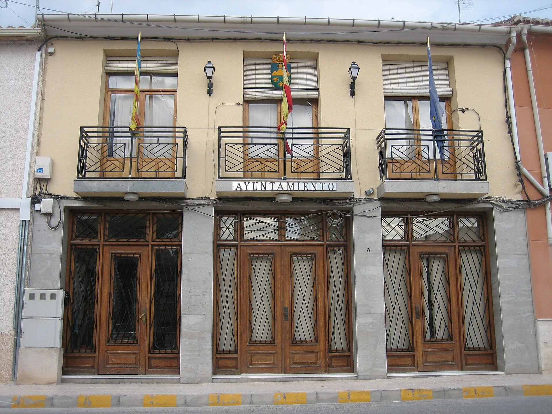
Algueña is an inland municipality in the Medio Vinalopó area, comprising the main town and La Solana. A visit combines urban heritage, vineyard scenery and two mountain routes documented by the local council. The municipal tourism page dates the parish church to 1738 and Algueña’s establishment as an independent municipality to 1933.
What to see in Algueña
Parish church of Saints Abdon and Sennen
The church is dedicated to the town’s patron saints, traditionally known as the Saints of the Stone. The council dates its construction to 1738. It can be included in a walk from Plaza Juan Carlos I through the town centre; check locally before relying on interior access.
La Solana and the agricultural landscape
La Solana is part of the municipality and helps explain Algueña’s rural character. The surrounding dry-farming landscape includes vineyards, almond trees and olive groves. Municipal tourism information connects this agricultural tradition with the Alicante Wine Route.
Sierra de Algayat or Peña Gorda
The council’s Algayat route starts and ends at Plaza Juan Carlos I. The official description gives a distance of 5.524 km, an estimated duration of 4 hours 20 minutes, elevations from 520 to 1,085 metres and medium-to-high difficulty. The path climbs towards Peña Gorda, with views over Algueña, La Solana, Monte Coto, Sierra de la Cruz and El Carche.
Barranco del Aire
This alternative also starts at Plaza Juan Carlos I. The official itinerary passes Alto del Tomillo, Camino de Tierra Blanca and Barranco de Rita before reaching Barranco del Aire. The council lists 4.508 km, about 1 hour 45 minutes, elevations from 520 to 674 metres and medium difficulty.
Wine tourism and scenery
Algueña forms part of the Alicante Wine Route. Municipal information highlights vines, almonds and olives, while the Valencian tourism authority includes Algueña within the Vinalopó wine area. Winery tours and tastings should be arranged with the participating businesses.
Local food
The council lists gazpachos made with flatbread, gachamiga, borreta and rice with rabbit and snails among local dishes. It also highlights cured meats and traditional pastries including perusas, almond biscuits, sequillos, pastizos, toñas and aniseed rolls.
Practical information
- Road access: CV-840.
- Route starting point: Plaza Juan Carlos I.
- Choosing a walk: do not combine both long routes on the same day without considering distance, ascent and daylight.
- Before walking: check weather, wildfire risk, trail conditions and council notices.
- Services and bookings: confirm opening times and availability with the council, accommodation, restaurants or wineries.
Nearby towns
Elda, Hondón de las Nieves and Hondón de los Frailes offer ways to continue through inland Alicante, but require separate journeys and are not part of Algueña’s town-centre walk.
Related guides and local data
Official sources and checks
The editing date records changes to the text, not a new check of opening hours, telephone numbers or accessibility. Specific verification dates, where recorded, appear beside the relevant information.